Friday, August 26, 2011

Lake Tahoe

Sat, 8/20/11:
Goose Meadows NF Campground, Truckee, CA:  Putzed around all morning.  Got talking with the couple next to us who came in last night. They live in a little town south of Reno.  I was telling her how dry my hands have been since we got here.  She said, well it is the desert.  Here in Lake Tahoe, I said?  With all the water around us?  And pine trees?  Doesn’t matter, she said.  It’s still the desert.  In fact, on average one million four hundred thousand tons of water evaporate from Lake Tahoe every 24 hours!  That’s amazing.  Where does it go?  We sure haven’t had any rain here.  It is a conundrum.  After lunch we drove to Reno.  Only 30 miles east on Rt. 80.  This section of Rt. 80 was pristine.  The section before the Truckee exit was all chewed up.  Chains are mandatory here in the winter.  I guess they do a number on the highways.  Reno is much smaller than Las Vegas, but seemingly more livable.  We parked in the Circus-Circus Casino garage and walked around a little.  Went into the Silver Legacy Casino because we were intrigued by the huge dome that was part of the building.  Turns out the dome housed a life-size replica of a silver mine shaft.  Pretty amazing.  Gambled a little.  For a change I won.  Went to the bar and had a drink to celebrate and played some video poker.  Looks like gamblers’ anonymous is in our future.  Had a great prime rib dinner at one of the restaurants in the Silver Legacy Casino and then drove back to our site.


Mine structure inside the Silver Legacy Casino.


Lake Tahoe

Fri, 8/19/11:
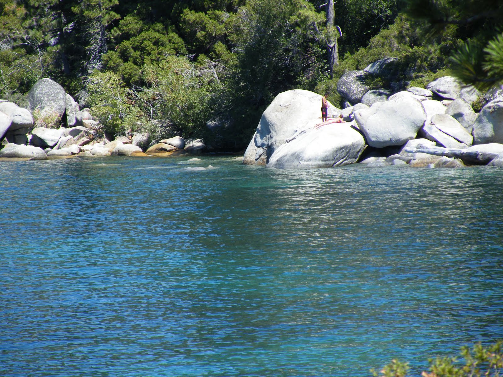
Goose Meadows NF Campground, Truckee, CA Drove all the way around Lake Tahoe today.  It’s 75 miles around.  The lake is 22 miles long and 12 miles wide.  It never freezes in the winter because of its depth.  The water is constantly in motion—the warmer water at the top sinking and the cooler water at the bottom rising.  The water is very clear.  You can supposedly see the bottom in 80 feet of water.  But it’s cold—39 degrees in the depths and 68 at the surface.  However, we saw some brave people in there    Some of the gated homes around the lake are amazing.  We made several stops to enjoy the views.  The southwestern side of the lake is much more rugged and still in its natural state.  Must be National Forest or State Park lands.  South Lake Tahoe in Nevada is probably the most developed town on the lake.  Several casinos and hotels.  Tahoe City near us is probably the second largest town.  The other towns that dot the shores are pretty small.  


Pictures don't do justice to the water colors and clarity.  They are amazing!


Lake Tahoe

Thu, 8/18/11:
Goose Meadows NF Campground, Truckee, CAColder in here this morning than yesterday morning—41 degrees!  It was so hard to get out from under the covers!  After our morning ablutions and filling the fresh water tank, we drove down to Squaw Valley which was the site of the 1960 winter Olympics.  It’s just 8 miles down Rt. 89 between Truckee and Lake Tahoe.  Parked and walked around the village a little and had lunch at the Blue Coyote overlooking one of the ski runs.  After lunch we drove east on 80 to Donner Memorial State Park and visited the museum there.  Part of the Donner party spent the winter on the eastern end of Donner Lake and the other on a stream several miles away.  Of the 90 people in the party, 48 perished and 42 survived.  How these people made it through the Sierras is beyond me. In some of the rocky and boulder-strewn areas they actually had to unload their wagons, dismantle them, and then haul them up over the cliff or boulder with ropes and then reassemble them and reload them.  Amazing resilience of these early pioneers. We drove up over the pass and then back down to the lake.  Donner Lake is nowhere near as big as Tahoe, but it’s just as pretty without all the congestion.  Back to our peaceful, quiet site and enjoyed the rest of the afternoon.  85 today once the sun made it over the mountains.  Once the sun dips behind the mountains though it cools down quickly.


Squaw Valley


Showshoe Thompson
Snowshoe Thompson, a native of Norway, carried the mail on his back for 90 miles over the 7500 ft. mountain passes through blizzards with winds of up to 80 miles per hour and drifts up to 50 feet high.  He did this 2 to 4 times a month from 1856 to 1876 no matter what the weather.  He did this on his homemade 10-ft. long 25 pound skies from Placerville, CA, to Genoa, NV.  He also carried a six-foot long pole he used like a tightrope walker for balance and he pack could weigh up to 100 pounds.  What a guy!

Picture of me in front of the Donner Memorial.  The snow level at that time (1846) was 22 ft.--the top of the stonework on this memorial.
Pretty Donner Lake
Bridge just before the pass.  This is the kind of terrain the immigrants had to deal with.

Thursday, August 25, 2011

Lake Tahoe

Wed, 8/17/11:


Goose Meadows NF Campground, Truckee, CA:  Got really cold last night.  Neither one of us wanted to get out from under the covers this morning.  Turned the heat on so we could take our showers.  Once the sun came up though it got really warm.  After lunch we drove down to Tahoe City on Lake Tahoe.  Only 13 miles south of us.  Followed the Truckee River all the way which was packed with floaters.  Hundreds of them!  And Tahoe City was packed as well. Traffic was bumper to bumper.  Drove around the lake as far as the Nevada line and then took a back road back to Truckee.  Some amazing homes on the lake.  And the lake is a beautiful deep blue with mountains all around.  Still snow on them in places!  A great place to have property since you can use it summer and winter. There are 63 streams that run into the lake and only one outlet—the Truckee River. Maximum lake depth is 1,645 ft.  Average depth is 900 ft.  Bet it’s cold!  Picked up some really nice home-grown tomatoes before we left Oakhurst, so we had BLTs for dinner tonight.  Played rummy after dinner.  Mike won both games (sigh).  Mid-80s today.  Not sure how cold it got last night, but it was 44 degrees in here this morning.  


Beautiful Lake Tahoe

Lake Tahoe

Tue, 8/16/11:
KOA, Coarsegold, CA, to Goose Meadows NF Campground, Truckee, CA:  We actually got going early this morning.  Left at 8:15.  I drove first.  We decided to just backtrack to Sacramento instead of going through the mountains.  I drove to about 30 miles south of Sacramento and we stopped for fuel and breakfast.  Then Mike took over.  Picked up 80 east in Sacramento and started climbing up into the mountains shortly after the eastern suburbs of Sacramento. Lots of long uphill pulls.  Our Allison transmission, Banks chip, and exhaust brake have done their job.  Especially the exhaust brake.  It holds the speed on long downhills without even touching the brake.  There’s still snow on the mountains around here. And we saw a couple of really pretty alpine lakes nearby—not to mention Lake Tahoe. We arrived here around 2:30 and got set up.  We’re on a little bluff overlooking the Truckee River.  And there’s a steep, pine-covered ridge across the river from us.  No hook-ups for 10 days.  


Our site on the Truckee River

Monday, August 15, 2011

KOA, Coarsegold, CA:  After spending most of the day in the truck yesterday, we decided to just go get some groceries and take care of a few things before we leave for Lake Tahoe tomorrow morning.  After getting our groceries and gassing up the truck, we went to a movie in Oakhurst.  We saw “The Help” which was a great movie.  Came back and relaxed and started putting some stuff together before we leave tomorrow morning.  Hopefully we’ll get out of here early.


Boulder jutting out over the road--Yosemite

Hetch Hetchy Reseroir--Yosemite.

Sunday, August 14, 2011

KOA, Coarsegold,CADrove up to Hetch Hetchy Reservoir today.  Back to Mariposa and then took Rt. 140 along the Merced River down through a canyon with steep, forest-covered mountains on each side.  Had to make a detour because the road was buried by a rock slide, along with part of the Merced.  Followed the Merced all the way into the west entrance of the park.  Then the steep, forest-covered mountains were replaced by sheer granite cliffs.  And the Merced was tumbling down through the canyon amid huge boulders.  Lots of glacial erratics in the park, but more so coming in from the west. A much prettier drive coming in this way.  Took the turnoff for Rt. 120 and finally the turnoff for Hetch Hetchy.  Stopped at a little picnic area and had the lunch we packed and then continued on.  The road here wasn’t so great—especially as we dropped down to the reservoir, with steep drop-offs and no guard rails in places.  Parked by the dam and walked around, taking in the stunning views.  An amazing place.  John Muir fought the building of this dam to protect the beautiful Hetch Hetchy valley, but to no avail.  After the 1906 earthquake in San Francisco that destroyed most of their water system, it was decided they had to do something.  And so they won.  This reservoir supplies 85% of the power and water to the SF environs and beyond.  Walked around the dam for a while and then headed back.  I drove up here, so Mike drove back.  Just as beautiful going back.  Took a little over 3 hours each way.  Stopped in Mariposa for some dinner and then back home.  A beautiful place.  I’m so glad we went.


Pretty little farm up in a high valley.


Hetch Hetchy Reservoir--Wapama Falls


Hetch Hetchy Reservoir
View of Half Dome in the haze/smoke from the west entrance.